EMODnet - Bathymetry Viewing and Download service
[Descripción] The 2020 version of the EMODnet digital terrain model (DTM) itself has been created at a grid resolution of 1/16 * 1/16 arc-minutes (circa 115 * 115 meter) using the best available bathymetry data sets from an increasing number of data providers. In practice more than 16360 data sets have been included from plummets, single beam, multi beam, and LIDAR observations, from composite DTMs and Satellite Derived Bathymetry for selected coastal stretches.
[Autoría] The Bathymetry Viewing and Download service is built and maintained by GGSgc and partners coordinated by MARIS and on behalf of the European Commission.
[Web original] https://portal.emodnet-bathymetry.eu/
[Formato] Ráster: ascii raster, netcdf.
[Resolución espacial / Escala] aprox. 115 m.
[SRS] EPSG:4326.
[Licencia] The downloading of tiles is free and without restrictions. However, the lightweight registration of your details and reason for downloading has been added allowing us to learn better our users and their applications.
[Descarga en origen] Se realiza por sectores en https://portal.emodnet-bathymetry.eu/
[Descarga en local] N/A
[Observaciones] Ver https://portal.emodnet-bathymetry.eu/help/help.html
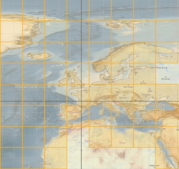
[Extensión geográfica] Sólo áreas marinas, se muestran los sectores descargables.