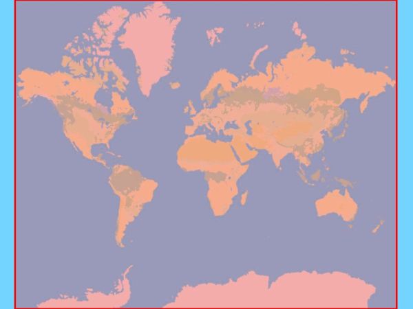
GEBCO 2021 Grid
[Descripción] GEBCO’s current gridded bathymetric data set, the GEBCO_2021 Grid, is a global terrain model for ocean and land, providing elevation data, in meters, on a 15 arc-second interval grid.
[Autoría] GEBCO Compilation Group (2021) GEBCO 2021 Grid
[Web original] https://www.gebco.net/
[Formato] raster (netCDF, ASCII raster y int16 GeoTiff).
[Resolución espacial / Escala] 30'' (aprox. 1 km en el Ecuador).
[SRS] EPSG:4326
[Licencia] The GEBCO Grid is placed in the public domain and may be used free of charge. Ver https://www.bodc.ac.uk/data/documents/nodb/599364/
[Descarga en origen] https://www.gebco.net/data_and_products/gridded_bathymetry_data/
[Descarga en local] N/A
[Observaciones] Ver http://dx.doi.org/10.5285/c6612cbe-50b3-0cff-e053-6c86abc09f8f
[Extensión geográfica]
