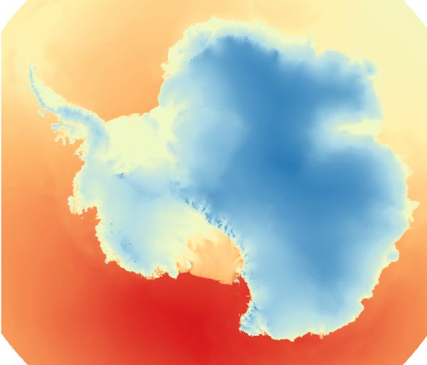
RAMP DEM
[Descripción] MDE procedente del Radarsat Antarctic Mapping Project (RAMP)
[Autoría] NOAA@NSIDC National Snow and Ice Data Center (NSIDC)
[Web original] https://nsidc.org/
[Formato] raster: ascii raster, arcinfo grid; descarga local: geotiff
[Resolución espacial / Escala] 200, 400 y 1000 m
[SRS] EPSG:3031
[Licencia] You may download and use any imagery or text from our Web site, unless it is specifically stated that the information has limitations for its use. Please credit the National Snow and Ice Data Center by citing our data.
[Descarga en origen] ftp://sidads.colorado.edu/pub/DATASETS/nsidc0082_radarsat_dem_v02 Es necesario un cliente ftp como puede ser Filezilla
[Descarga en local] g0208_1k_ramp, g0208_400m_ramp, g0208_200m_ramp
[Observaciones]
[Extensión geográfica]