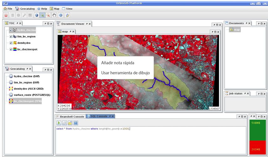
OrbisGIS
[Descripción] OrbisGIS is a cross-platform open-source Geographic Information System (GIS) created by research and for research. It is leaded by CNRSwithin the French Lab-STICClaboratory (DECIDEteam of Vannes).
[Web] http://orbisgis.org/
[Documentación]
[Licencia] GPL v3.
[Sistema operativo] MS Windows, GNU/Linux, Mac OS/X.
[Observaciones] Imagen tomada de Fernando Gonzales-Cortès, Erwan Bocher, Thomas Leduc. OrbisGIS, un sistema de información geográfica orientado a la investigación científica. Open Source World Conference, OSWC 2008, Oct 2008, Málaga, Andalusia, España.