European Soil Database
[Descripción] This database is the only harmonized soil database for Europe, extending also to Eurasia. It contains a soil geographical database SGDBE (polygons) to which a number of essential soil attributes are attached, and an associate database PTRDB, with attributes which values have been derived through pedotransfer rules. Also part of the database is the Soil Profile Analytical Database, that contains measured and estimated soil profiles for Europe.
[Autoría] European Commission - Joint Research Centre, Institute for Environment and Sustainability (Marc Van Liedekerke & Panos Panagos)
[Web original] European Soil Database v2.0 (vector and attribute data) - ESDAC - European Commission (europa.eu) https://esdac.jrc.ec.europa.eu/content/european-soil-database-v20-vector-and-attribute-data
[Formato] Vectorial: shapefile.
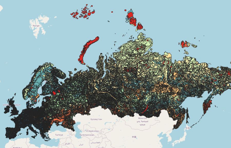
[Resolución espacial / Escala] 1:1M
[SRS] EPSG:4326
[Licencia] The European Soil Databases (ESDB), distribution version v2.0 is freely available to the public after user registration.
[Descarga en origen] Solicitar acceso en https://esdac.jrc.ec.europa.eu/content/european-soil-database-v20-vector-and-attribute-data#tabs-0-description=1
[Descarga en local] N/A
[Observaciones] Note that on the basis of the vector data, a number of rasters have been derived, one for each attribute in the database; these raster have been put together in a dataset calles ESDB v2 Raster Library 1km x 1km (https://esdac.jrc.ec.europa.eu/content/european-soil-database-v2-raster-library-1kmx1km). Also this dataset vcan be accessed after registration.
[Observaciones] Cita: Panagos P., Van Liedekerke M., Jones A., Montanarella L., “European Soil Data Centre: Response to European policy support and public data requirements”; (2012) Land Use Policy, 29 (2), pp. 329-338. http://dx.doi.org/10.1016/j.landusepol.2011.07.003
[Extensión geográfica] Xmin: -180.00; Xmax: 180.0; Ymin: 34.81; Ymax: 81.86