GISCO - NUTS
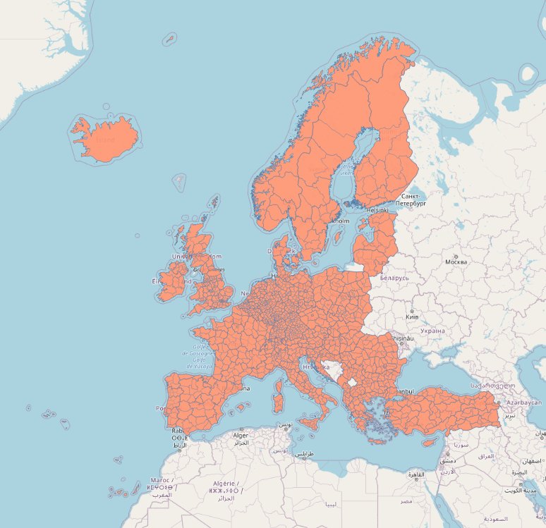
[Descripción] The GISCO statistical unit dataset represents the NUTS (Nomenclature of territorial units for statistics) and Statistical regions by means of multipart polygon, polyline and point topology. The NUTS geographical information is completed by attribute tables and a set of cartographic help lines to better visualize multipart polygonal regions.
[Autoría] European Commision, Eurostat, GISCO - the Geographic Information System of the COmmission
[Web original] https://ec.europa.eu/eurostat/web/gisco/geodata/reference-data/administrative-units-statistical-units/nuts#nuts16
[Formato] Vectorial: shapefile, topojson, geojson, gdb, eps.
[Resolución espacial / Escala] 1:1M, 1:3M, 1:10M, 1:20M, 1:60M.
[SRS] EPSG:4326, 3035 y 3857.
[Licencia] https://ec.europa.eu/eurostat/web/gisco/geodata/reference-data/administrative-units-statistical-units
[Descarga en origen] https://ec.europa.eu/eurostat/web/gisco/geodata/reference-data/administrative-units-statistical-units/nuts#nuts16
[Descarga en local] N/A
[Observaciones]
[Extensión geográfica]