GSHHG Coastline Version 2.3.7
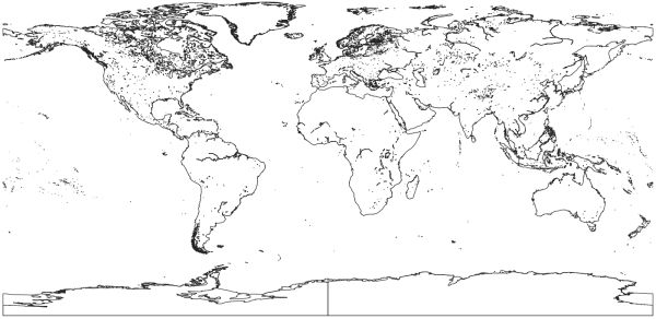
[Descripción] Global Self-consistent Hierarchical High-resolution Shorelines: These originate as individual polygons at five different resolutions.
[Autoría] GSHHG is developed and maintained by Paul Wessel, SOEST, University of Hawai'i, Honolulu, HI. and Walter H. F. Smith, NOAA Geosciences Lab, National Ocean Service, Silver Spring, MD.
[Web original] https://csdms.colorado.edu/wiki/Data:World_Vector_Shoreline https://www.ngdc.noaa.gov/mgg/shorelines/
[Formato] Vectorial: shapefile (original); geopackage (local).
[Resolución espacial / Escala] Los datos se distribuyen con cinco resoluciones diferentes progresivamente generalizados mediante el algoritmo de Douglas-Peucker. Ver archivo shapefile.txt en la descarga para más detalles.
[SRS] EPSG:4326.
[Licencia] GNU Lesser General Public License (LGPL) version 3.
[Descarga en origen] https://www.ngdc.noaa.gov/mgg/shorelines/data/gshhg/latest/, la distribución como shapefile en https://www.ngdc.noaa.gov/mgg/shorelines/data/gshhg/latest/gshhg-shp-2.3.7.zip (142 MB).
[Descarga en local] N/A (la licencia no permite la redistribución).
[Observaciones] Wessel, P., and W. H. F. Smith (1996), A global, self-consistent, hierarchical, high-resolution shoreline database, J. Geophys. Res., 101(B4), 8741–8743, doi:10.1029/96JB00104
[Extensión geográfica]