Land Cover CCI CRDP
[Descripción] The Land Cover CCI Climate Research Data Package (CRDP) contains all data products that have been generated within the project:
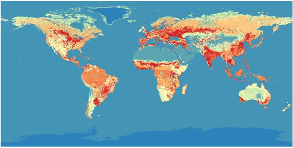
- A new time series of consistent global LC maps at 300 m spatial resolution on an annual basis from 1992 to 2015;
- 1 user tool for sub-setting, re-projecting and re-sampling the products in a way which is suitable to each climate model.
- The full archive of AVHRR HRPT 1 km surface reflectance 7-day composites from 1992 to 1999;
- The full archive of MERIS surface reflectance 7-day composites from 2003 to 2011 (300 m and 1 km resolution);
- A PROBA-V 1 km time series of surface reflectance 7-day composites from mid March 2014 to end 2015;
- 1 static map of open water bodies including ENVISAT ASAR data;
- 3 global land surface seasonality products characterizing the vegetation greenness, the snow and the burned areas dynamics.
[Autoría] ESA, http://www.esa.int/ESA
[Web original] https://maps.elie.ucl.ac.be/CCI/viewer/index.php
[Formato] Ráster: geotiff, netcdf.
[Resolución espacial / Escala] 300 m
[SRS] EPSG:4326
[Licencia] Ver en http://maps.elie.ucl.ac.be/CCI/viewer/download.php
[Descarga en origen] Usar http://maps.elie.ucl.ac.be/CCI/viewer/download.php, es necesario dar un nombre, institución y correo.
[Descarga en local] N/A
[Observaciones] Ver https://maps.elie.ucl.ac.be/CCI/viewer/download/ESACCI-LC-Ph2-PUGv2_2.0.pdf y otros documentos en la web principal. En la descarga vía ftp anónimo se ve que hay versiones anuales de la capa desde 1992 hasta 2015. Los ficheros geotiff son de unos 300 MB y los netcdf de unos 2.5 GB.
[Extensión geográfica]